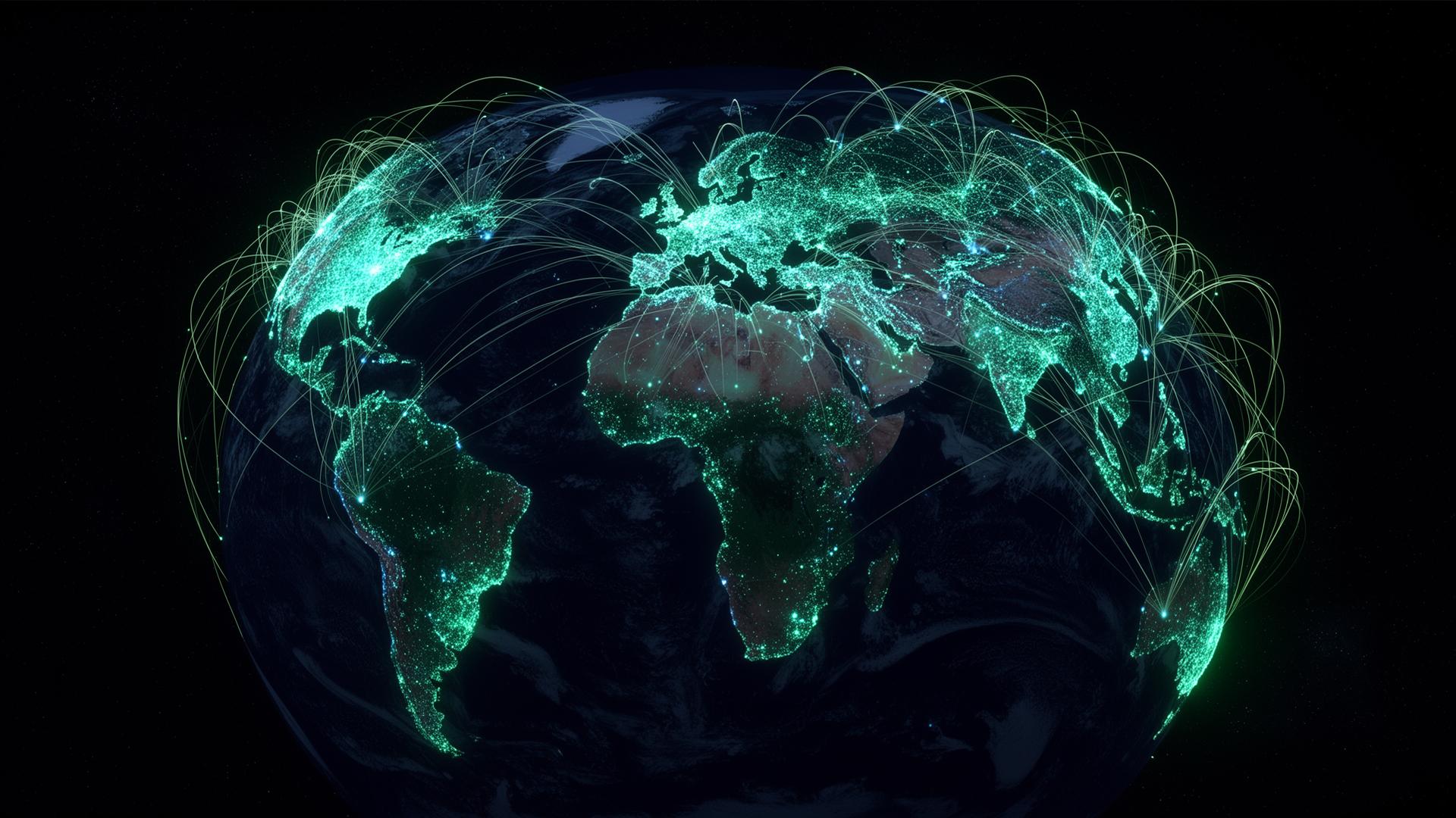
Mapping a planet
under pressure.
GEO-Explorer is the home of KAJO's data platforms and WebGIS systems — turning satellite, sensor and model data into decisions for climate resilience, disaster response, and AI-driven discovery.
- 12+
- Operational platforms
- 40M km²
- Monitored area
- 1.2 PB
- Geospatial data indexed
/ Platforms & Capabilities
Purpose-built systems for a changing planet —
from raw signal to ground-truth insight.
Each KAJO platform fuses Earth observation, in-situ sensors and modelled data into interactive WebGIS experiences engineered for analysts and decision makers.
 Climate
Climate Risk Atlas
Multi-decadal climate projections, exposure layers and adaptation indicators delivered through a high-performance WebGIS.
DisasterResilience Operations Hub
Near-real-time hazard monitoring for floods, wildfires and earthquakes — with damage assessment workflows for responders.
 Flood Intelligence
FloodIntel
Global Flood Intelligence Platform combining GloFAS forecasts, CAP alerts, satellite observations and exposure layers in a live operational WebGIS.
Earth Observation
Sentinel, Landsat, MODIS and commercial imagery pipelines with cloud-optimized GeoTIFF + STAC.
Climate Modelling
CMIP6 downscaling, bias correction, indicator computation and ensemble uncertainty layers.
Disaster Analytics
Flood, wildfire and seismic impact models combined with rapid post-event assessments.
Geo-AI
Segmentation, change detection and time-series forecasting on petabyte-scale archives.
WebGIS Engineering
MapLibre, deck.gl and tile services tuned for sub-second interaction at country scale.
Data Platforms
Lakehouse architectures with PostGIS, Iceberg and serverless APIs for partners.
/ Impact
Decisions that hold the line when the climate doesn't.
KAJO's platforms support governments, humanitarian agencies and scientific communities working at the frontline of climate adaptation and disaster risk reduction.
Flood detection accuracy on validated events
From acquisition to dashboard for major disasters
Government, UN and research partners served
/ Get in touch
Build the geospatial layer of your mission with KAJO.
Tell us about the region, hazard or dataset you're working with — we'll show you a tailored prototype within two weeks.